
Geotechnical Software for Transportation Infrastructure
Bentley offers geotechnical software solutions that integrate connected engineering and infrastructure data to help transportation teams plan, design, construct, and operate roads, rail, bridges, tunnels, and transit systems by reducing subsurface risks, accelerating project delivery, and extending asset lifespan through specialized tools like OpenRoads Designer, ProjectWise, SYNCHRO 4D, and Blyncsy.
Close
What is it you are searching for ?
Search our site for products, services, training and support
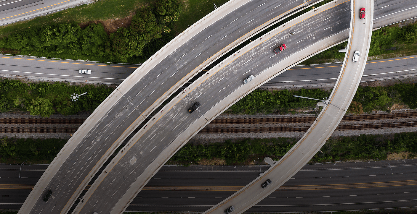
Transportation
Connect transportation data, teams, and assets to improve delivery, performance, and long-term resilience.
Slide 1 of 1
Overview
Connected data for modern transportation
Bentley helps transportation teams plan, design, construct, and operate roads, rail, bridges, tunnels, and transit systems using connected engineering and infrastructure data.
-
Reduce subsurface risk
Integrate geotechnical and subsurface data into transportation workflows to identify risks earlier, reduce redesigns, and improve infrastructure resilience.
-
Accelerate project delivery
Connect geospatial, subsurface, design, and construction data across teams so transportation projects move faster with fewer coordination issues and delays.
-
Extend asset lifespan
Use connected operational, monitoring, and reality data to improve maintenance planning, extend infrastructure life, and support safer transportation networks.
Specialized transportation segments
-
Roads & highways
Design and deliver road projects with integrated engineering tools, then manage networks over time using connected data to maintain safety, capacity, and performance.

-
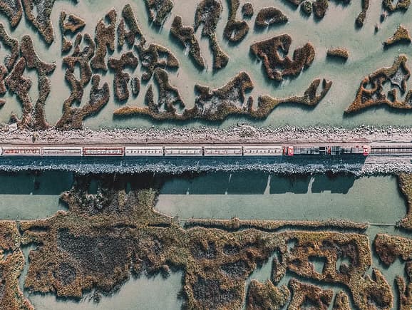
Rail & transit
Plan, design, and operate rail systems with purpose-built tools and connected asset data — supporting reliable, continuous service for passengers and freight.
-
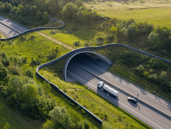
Bridges & tunnels
Model, analyze, and monitor critical structures with specialized tools and real-time insights — so performance stays dependable across their full-service life.
-
Airports
Design, deliver, and manage airport infrastructure—from runways and taxiways to terminals and utilities—with connected engineering data that improves project delivery and long-term asset performance.

-
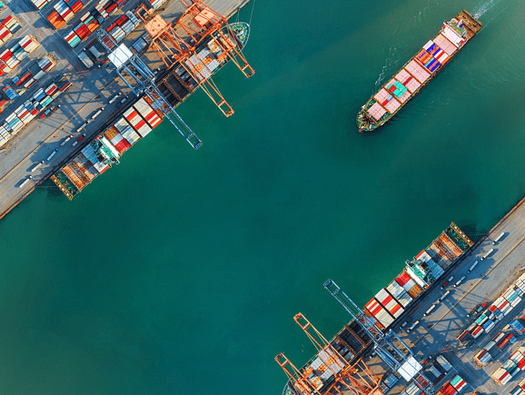
Ports & waterways
Design, deliver, and manage ports, marine structures, and waterways with connected engineering data that improves project delivery, resilience, and long-term asset performance.
FAQS
Find answers
How is Bentley different from other transportation infrastructure software vendors?
Bentley is built exclusively for infrastructure. Unlike horizontal platforms that serve every industry, our solutions are engineered specifically for transportation — with workflows, data models, and integrations that reflect how projects actually get delivered.
What makes Bentley a leader in transportation?
Deep capabilities across roads, rail, bridges, and tunnels — connected across the full lifecycle. Bentley links subsurface data, design, construction, and operations so organizations manage assets over time, not just individual project phases.
How does Bentley help reduce rework and delays?
Rework usually comes from disconnected data. Bentley brings together surface, subsurface, and existing asset information so teams catch issues earlier, coordinate better, and avoid the costly changes that show up late in construction.
Why is subsurface data so important in transportation projects?
Subsurface conditions are one of the largest sources of uncertainty and risk. Without a clear understanding of what’s below ground, projects are more likely to encounter unexpected issues. Integrating geotechnical data early helps teams design more accurately and avoid costly surprises.
We already use GIS and CAD software. Why do we need Bentley solutions?
GIS and CAD solve parts of the problem. Bentley connects them — along with geotechnical data, construction schedules, asset records, and monitoring feeds — into a single engineering-grade data environment. The result is less time reconciling tools and more time making decisions.
Can Bentley solutions scale from small projects to national infrastructure programs?
Yes. Bentley is used by individual project teams and by national transportation agencies managing thousands of assets. The same data infrastructure that supports a single bridge replacement scales to network-wide asset management programs.
How does Bentley use AI in transportation today?
Bentley applies AI across both asset operations and design workflows. On the operations side, Blyncsy uses AI to analyze roadway imagery — automatically detecting potholes, faded markings, and damaged signs — so agencies like the Alabama and Hawaii Departments of Transportation can prioritize maintenance based on actual conditions rather than scheduled surveys.
On the design side, Bentley Copilot is a context-aware AI assistant embedded in Bentley's engineering applications that guides users through workflows, surfaces relevant project documents, and can make direct changes to models — reducing the manual effort that slows down delivery.
See more
Contact us
Loading form...
Message received
Thanks for getting in touch
A member of our sales team will contact you to answer your questions and help you find the right option for your team.